|
S08: Multilingual names, minority names
|
|
|
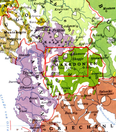
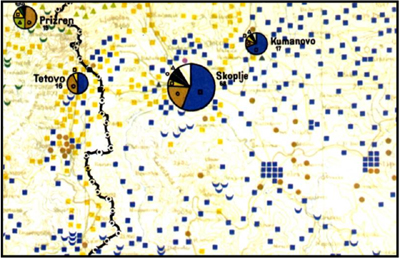
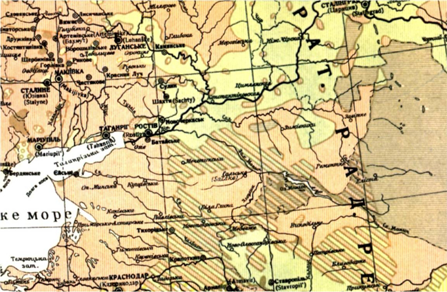
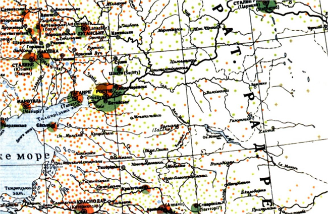
16. What is the best way to render linguistic boundaries on maps? |
||
|
How to render uninhabited areas? With white?
|
||
Copyright United
Nations Statistics Division and International Cartographic Association, July 2012