TÉRKÉPTÖRTÉNET
Hungarian Map History 2007

Virtuális Térképtár/ Maps
Oktatás/ Education
Gyűjtőknek/Collectors
Links
| MAGYAR
TÉRKÉPTÖRTÉNET Hungarian Map History 2007 |
|
Digitális
Könyvtár/Library
Virtuális Térképtár/ Maps Oktatás/ Education Gyűjtőknek/Collectors Links |
|
|
|
ICHC 2005 Budapest |
| 22.
Nemzetközi Kartográfiatörténeti Konferencia ! 2007. július 8-13, Bern, Svájc Magyar előadók: Deák Antal András, Török Zsolt Poszter: Irás Krisztina, Bartos-Elekes Zsombor |
|
| DESCRIPTIO
TRANSYLVANIA- erdélyi
térképtörténeti konferencia 2007. május 19-én
Sepsiszentgyörgyön. |
 "DESCRIPTIO TRANSYLVANIA" (map
conference) "DESCRIPTIO TRANSYLVANIA" (map
conference)
Dear colleagues,
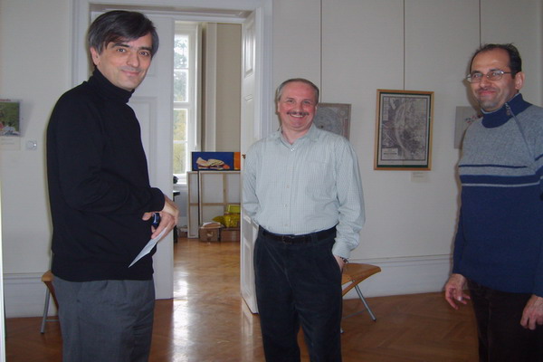
We are happy to announce the first international conference on the cartographic history of The following short lectures will be presented by historians and collectors from István Klinghammer ( László Gróf ( Botod Gudor ( Ovidiu Şandor (Romania): 'The stories of a rare map: Transylvania, 1596, by Domenicus Custos' Görgy Feiszt ( Ádám Konya ( Măriuca Radu and Sándor Tamas ( (Felhívást a MapHist-ről)
|
"Térképészet és
történelem Európában - szociológiai,
pedagógiai, pszichológiai és politikai
szemszögbõl" szeminárium a
Károlyi József Alapítvány
szervezésében Fehérvárcsurgón a
kastélyban.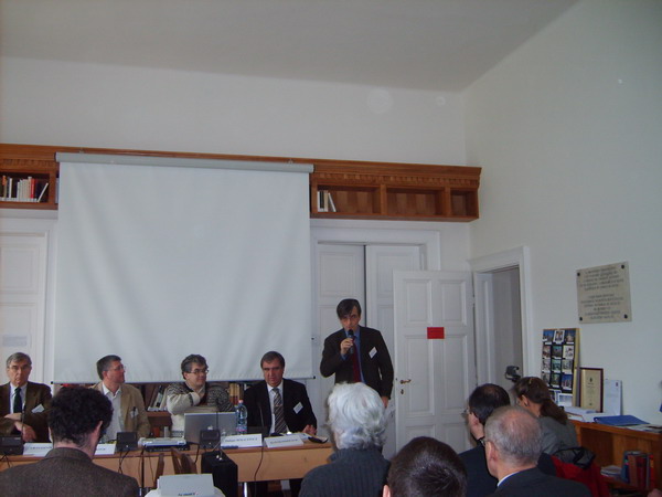 Török Zsolt elõadást tart "Kartográfiai látás és történelmi észlelés/ Cartographic Vision and Historical Perception" címmel . |
 Sociological, pedagogical, psychological and political aspects" International Seminar organized by Joseph Károlyi Foundation 30-31 March, 2007 Chateau Károlyi, Fehérvárcsurgó, Hungary |
| március 22-23 . A Francia Nemzeti Könyvtár "Les grands globes de Coronelli" szemináriumán meghívottként részt vett Török Zsolt docens, elõadásának címe: 'Reduced Giants: the re-construction of the three and a half feet diameter printed Coronelli globe'. |
International
Colloquium in Bibliotheque nationale
de France, Paris, France: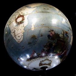 |
| Török Zsolt az ELTE Térképtudományi és Geinformatikai Tanszék docense a David Woodward Memorial Fellowship 2006-2007 nyerteseként február-március hónapokban az Institute for Research in the Humanities, University of Wisconsin- Madison vendégkutatója az Egyesült Államokban. | Zsolt Török is David Woodward Research Fellow for 2006-2007 at the Institute for Research in the Humanities, University of Wisconsin- Madison, USA and spends two month at he History of Cartography Project at UW-Madison. Research topic is Enlightenment Cartography in East-Central Europe. |
 |
 |