|
|
3D laser scanning of Pálvölgyi Cave |
- Survey
The survey of Pálvölgyi Cave was performed on 7th of May 2012. Among the participants were 3 universities (Nyugat-magyarországi Egyetem, Dresden University of Technology and Eötvös Loránd University) and a private enterprise (Geolink3D Ltd.). The survey was carried out with the help of universities' lecturers and students and with the contribution of the private business's colleagues. The instruments were served by the Nyugat-magyarországi Egyetem Faculty of Geographic Information Science and Geolink3D Ltd..
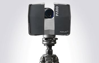
Two instruments were used during the scanning. A Leica ScanStationC10 and a FARO laserscanner.
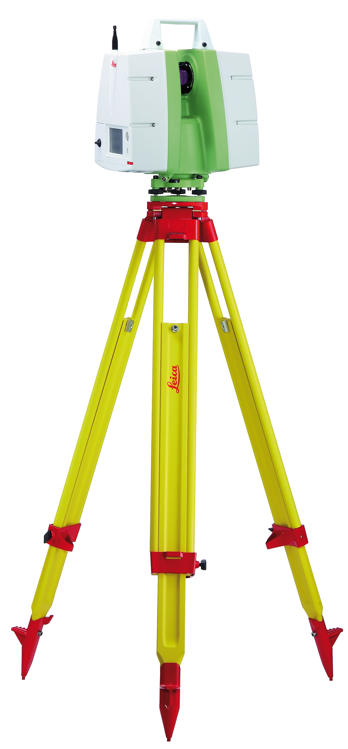
 Leica ScanStationC10
FARO laserscanner
Leica ScanStationC10
FARO laserscanner
ELTE Department of Cartography and Geographic Information Science, 2012
|
Sitemap |