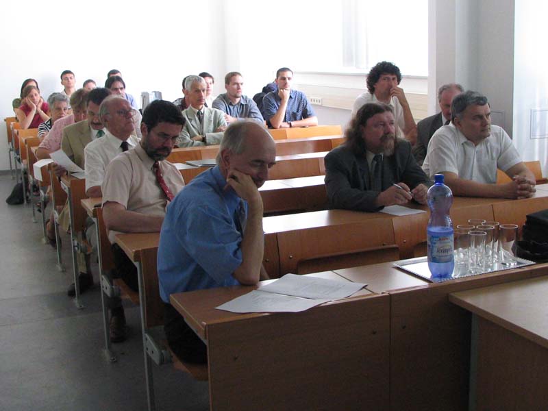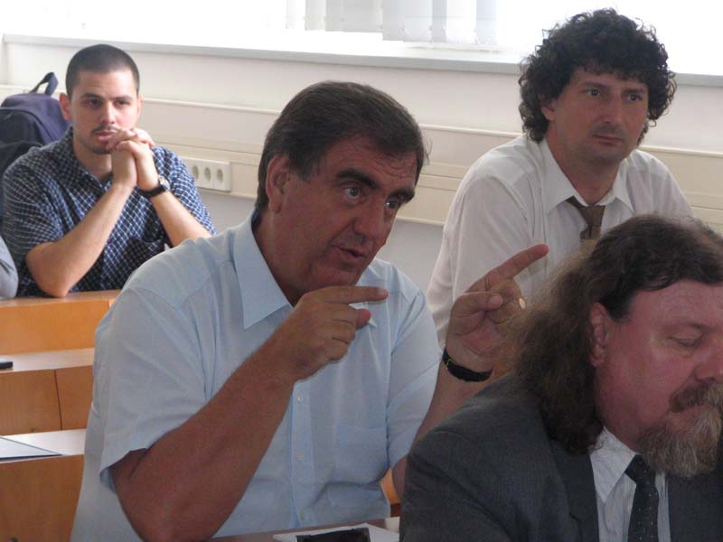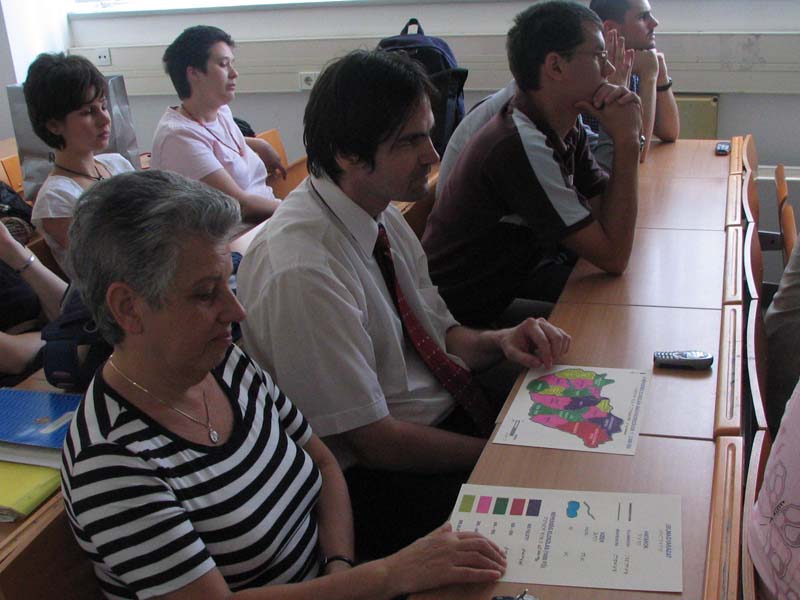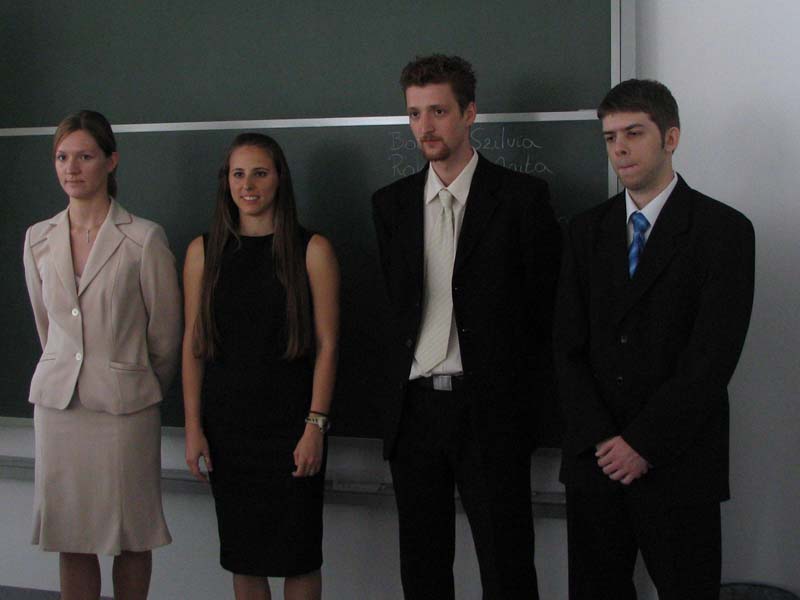
Title of M. Sc. thesis: Digital globes, thematic globe animations
Consultant: Török Zsolt
2007. June 25-26.
 |
Balázs János Title of M. Sc. thesis: Digital globes, thematic globe animations Consultant: Török Zsolt |
 |
Blaskó Dénes Title of M. Sc. thesis: Interactive method of the selection of projection, IVP Interactive Projection Developing Software Consultant: Györffy János |
 |
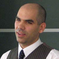
Bobák Szilvia Title of M. Sc. thesis: The aesthetic representation of the graphic elements of maps on promotion maps Consultant: Török Zsolt |
 |
Bolla Péter Title of M. Sc. thesis: The GeoAR software Consultant: Elek István |
 |
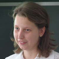
Fazekas Zoltán Title of M. Sc. thesis: Representatoin of changes of the administrations boundaries using internet Consultant: Faragó Imre |
 |
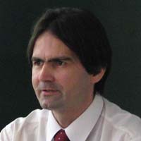
Kiss Adrienn Title of M. Sc. thesis: Survey of schoolbook and workbook maps in conjunction of generalization Consultant: Jesús Reyes |
 |
Rakk Gyula Title of M. Sc. thesis: Creating the Carpathian-Pannonian Information System using graphic and CAD files by the integration into GIS-GPS environment Consultant: Elek István, Faragó Imre, Külső konzulens: Hevesi Attila |
 |
Rohonczi Anita Title of M. Sc. thesis: Map making for blinds and partially sighted people: experiences, suggestions Consultant: Jesús Reyes |
 |
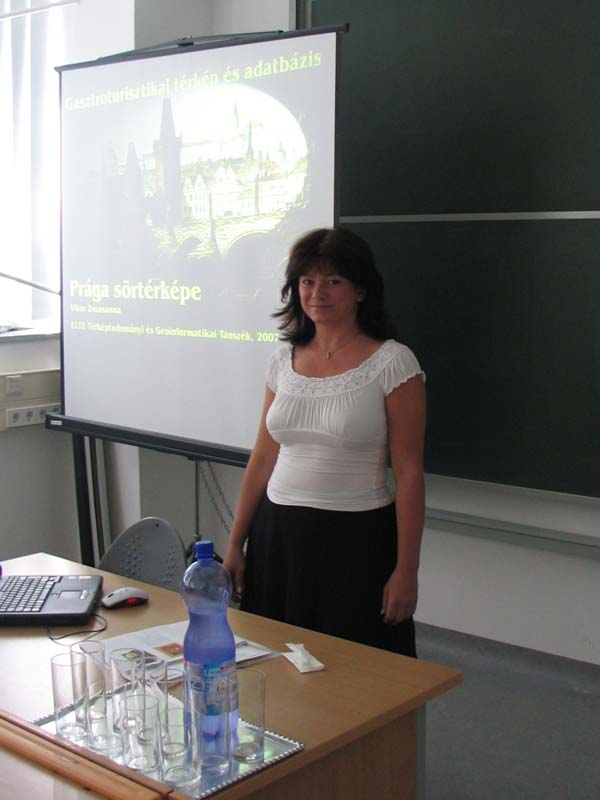
Vikor Zsuzsanna Title of M. Sc. thesis: Gastro-turistic map and database (Beer map of Prague) Consultant: Zentai László, Külső konzulens: Turczi Gábor |
