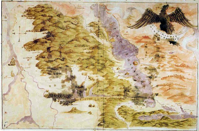
A Balaton és környéke a 16. század második felében./ Mid 16th century Lake Balaton (East oriented) on the map representing the territory between the rivers Danube and Mura
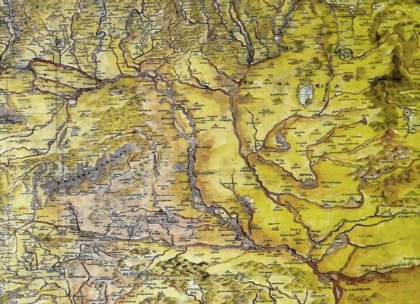
Részlet Nicolo Angielini Magyarország-térképébõl (1566 körül ?)/ Detail of the manuscript map of Hungary by Nicolo Angielini (c. 1566)
A Balaton és környéke
a 16. század második felében./ Mid 16th century Lake
Balaton (East oriented) on the map representing the territory between the
rivers Danube and Mura