Maps
Generalities
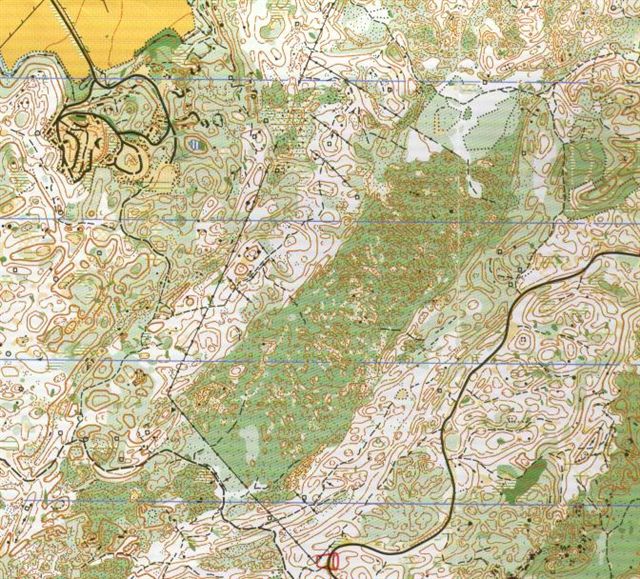
The overall appearance of the terrain, apart from sprint, is a thick, rather
flat forest, with light and middle level green predominating .
All maps except sprint were at the scale 1:10000, 5 meter contour interval,
4 colours offset print.
In order to measure the symbol size the maps were photocopied with 10 times
enlargement. Due to the 4 colour print, the size of symbols can only approximately
be determined.
However it can be stated that:
Symbols are at the 1:15000 scale (not 150% enlarged) with some changes, namely:
- contour lines and index contours are about 20% thinner than standard
- some other symbols are about 20% smaller (boulders, stony ground symbols).
As a result of such a combination (symbol size, scale and 4 colour print) in
a mostly green forest, large parts of the maps are barely readable. Under a
situation of fable light (autumn, cloudy or rainy weather, thick vegetation
cover), these parts of the maps are probably totally unreadable.
Middle distance qualification
All what said above.
Colours:
- yellow about 60% strong than standard, for both full and 50%.
- green too dark and different from standard
- brown too pale.
The combination of poor colours with the above said generalities make this map
the worse of all.
Middle distance final
The paper used for this map was more white than for all other maps.
Index contours are missing.
Yellow and green are a little more dark than standard.
Long distance
This map is probably the best since colours are about right.
Relay
Same as middle final.
Sprint
Scale 1:4000, contour interval 2.5 meters.
A new undefined symbol (used for control point)
One (out of many) stone wall with the old 519 symbol used for control.
Other remarks
The map for the long distance was 42x59 cm. large.
Some controls were closer to each other than recommended by rules (less than
70 meters for similar and less than 30 meters for different controls).
One leg for men (12-13) and one for women (16-17) were the same but in opposite
direction. Did they run in different times?
Course planner avoided green area as much as possible. This could be achieved well in the long, but not completely in middle and relay.
One comment
Why did organizers and cartographers spend more time and a lot more money for
field work and drawing (about double if we consider that the map surface more
than doubles from 1:15000 to 1:10000) and then save a little money to print
5 colours instead of 6 with the following results:
- break the rules
- spend a lot more money
- obtain un unreadable map