General comments:
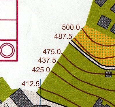
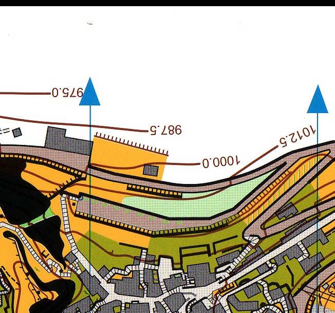
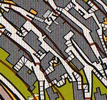
The equidistance says 2,5 m, but it is only for 1/5 of the
map. The rest is 12,5 m.
In the 4/5 of the map only the index contours are shown, and then the
idea with the index contours are gone. On the other side I see the problem
with all the contourlines and think it is a pity if the area should be
disqualified because of that.
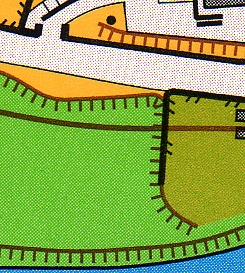
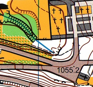
There are some misunderstandings in the contours. See the
examples.
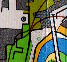
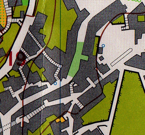
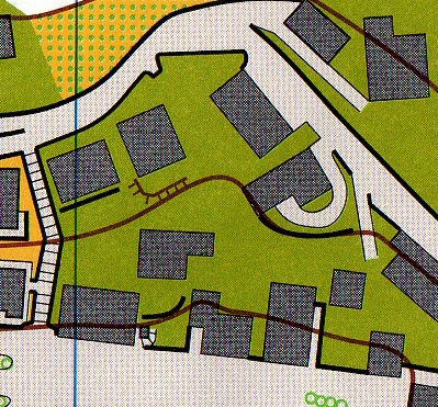
I think too many private entrances are shown in the map.
Too many entrances shown

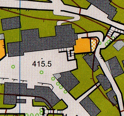
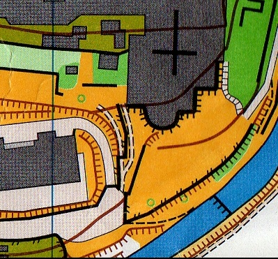
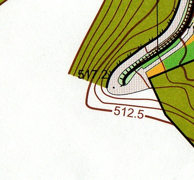
The contours are not adjusted to the reality - look at the stair to the right.
(If the contour is right the stair isn't necessary).