
MIDDLE maps - Map Commission's comments
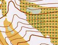
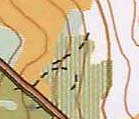
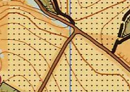
| Combination of orchard and undergrowth (undergrowth is not used at all on MTBO maps) |
|
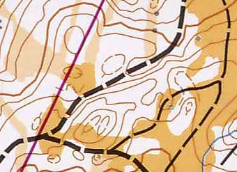
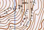
| Form lines are used mistakenly |
|
| Small erosion gully symbol is not used on MTBO maps |
|
| Small knoll symbol is not used on MTBO maps (here it is used as area symbol as a broken ground symbol, which also unnecessary on MTBO maps) |
|
| Pits and small depression are not used on MTBO maps |
|
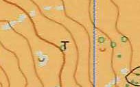
| Passable cliff and large boulder symbol is not used on MTBO maps |
|
| Symbols waterhole and well are not used on MTBO maps |
|
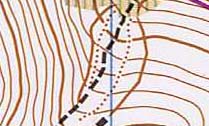
| Non MTBO path symbols were used |
|
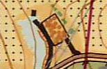
| Fence symbols is not used on MTBO maps (only high fence) |
|
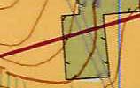
| The cultivated land symbol is not according to the standard (only 60% yellow was used) |
|