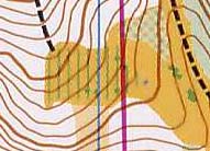

LONG maps - Map Commission's comments
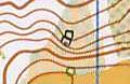
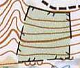
| Combination of cultivated land and undergrowth (undergrowth is not used at all on MTBO maps) |
|
| Combination of semi-open areas and green is not allowed |
|
| The cultivated land symbol is not according to the standard (only 60% yellow was used) |
|
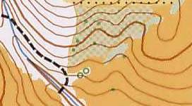
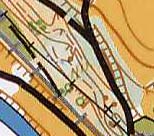
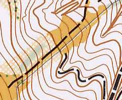
| Uncrossable fence (two different line width) |
|
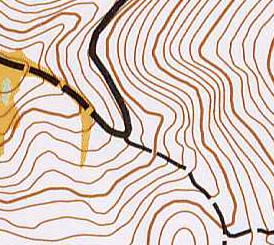
| The drawing quality is was very poor: contour lines, vegetation boundaries |
|
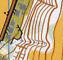
| Some cliffs are black, some are grey |
|
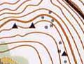
| Some rock symbols are black, some are grey |
|
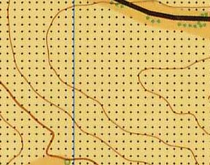
| There are black and grey power lines | |
| The fence is continuously changing |
|