
LONG distance maps - Map Commission's comments
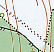
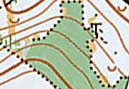
| There were 3 insets on the map. The scale of the insets was written in the title area only. Insets are not suggested (but not definitely prohibited), we think that these areas are generally not suitable for international o-events. | |
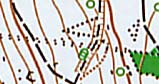
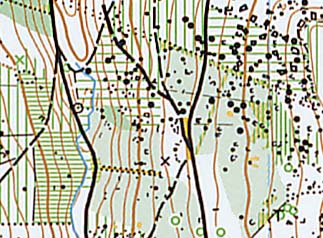
| Would it be a narrow ride? The size of brown dots are different from the black dots of vegetation boundary. |
|
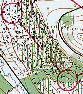
| Three different size/spacing of black dots (vegetation boundary). |
|
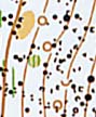
| How many different size of black dots can you count? The smallest dots are allowed to use only as area symbols. |
|
| The green lines of undergrowth are always orientated to north. The horizontal green lines give wrong impression for the competitors. |
|
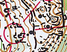
| Brown circle is not in the ISOM/ISSOM. Will the competitors know what is on the terrain? |
|
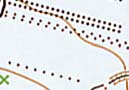
| Do you what is the grey (?) x on the eastern part of the inset? |
|
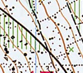
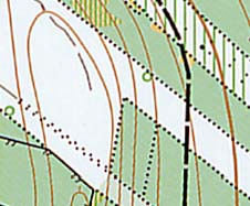
| Bad counting of contour lines makes miss the index contour. |
|
| Why to use two different symbols for a small depression (u)? |
|
| This leg gave the competitors various deviations from standard specification of the map. |
|