28th July 2001
ICOM 2001, Tampere


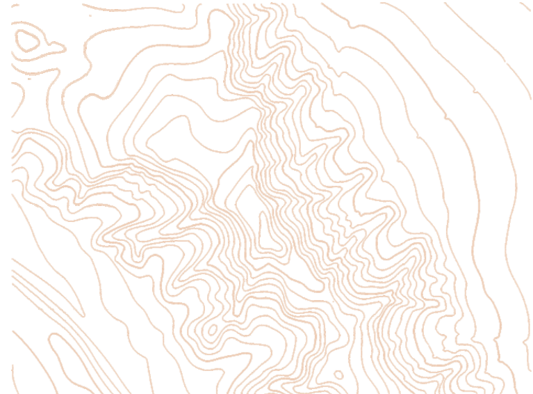
Contour
lines are most import features in the cartographic representation of a the terrain.
With
contour lines we represent a surface, therefore we need either:
 hill shading (not suitable for O-maps)
or
a group of contour lines
hill shading (not suitable for O-maps)
or
a group of contour linesGeneralization of
Contours