
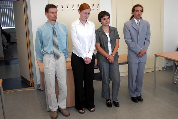
Title of M. Sc. thesis: Editing the 1:10000 scale digital civil topgoraphic basemap
Consultant: Zentai László, external: Józsa János
23-24 June 2004
|
Balassa Bettina Title of M. Sc. thesis: Editing the 1:10000 scale digital civil topgoraphic basemap Consultant: Zentai László, external: Józsa János |
 |
Bogdanovits Ildikó Enikő Title of M. Sc. thesis: County Kolozs on the 1st Military Survey Consultant: Zentai László, external: Jankó Annamária |
 |
Gede Mátyás Title of M. Sc. thesis: The Modification of Érdi-Krausz projection Consultant: Györffy János |
 |
Katona Gergely Title of M. Sc. thesis: Maps from the bend of river Don Consultant: Zentai László |
 |
Nyúzó Imre Title of M. Sc. thesis: Editing of regional historic atlases Consultant: Faragó Imre |
 |
Oláh Krisztina Title of M. Sc. thesis: Detection of Tisza river floods with satellite images Consultant: Csató Éva |
 |
Szávai Csilla Title of M. Sc. thesis: History and development of Albertfalva on maps Consultant: Zentai László |
 |
Török Zoltán Consultant: Faragó Imre |
 Back to the Initial Page of Students!