Title of M. Sc. thesis: Bilingual map of Iran
Consultants: Faragó Imre, Dr. Nyitrai István
 | Abonyi György Title of M. Sc. thesis: Bilingual map of Iran Consultants: Faragó Imre, Dr. Nyitrai István |
 | Albert Gáspár Title of M. Sc. thesis: Modelling of GIS of the city Dunaharaszti Consultant: Zentai László, Elek István |
 | Balog Péter Title of M. Sc. thesis: Tables of board games as cartographic representation Consultant: Török Zsolt |
 | Bartha Karolina Title of M. Sc. thesis: Maps of the aviation Consultant: Márton Mátyás |
 | Biczó Dénes Title of M. Sc. thesis: Environment protection atlas of Budapest Consultant: Draskovits Zsuzsa, Nagy Katalin |
 | Bodrog Csenge Title of M. Sc. thesis: Map editing for hidrological and hidrogeological parameters with krieging Consultant: Zentai László, Kovács József, Márkus László |
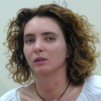 | Gődér Györgyi Title of M. Sc. thesis: Narbonne, the tourist map of a French city Consultant: Márton Mátyás |
 | Guszlev Antal Title of M. Sc. thesis: Multilingual interactive Europe map Consultant: Zentai László |
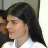 | Kiss Dominika Title of M. Sc. thesis: Maps of the general information, "public maps", maps of the consumers Consultant: Faragó Imre |
 | Peuser Lóránt Title of M. Sc. thesis: Application of Java language in map representation making Internet based orienteering map catalogue Consultant: Zentai László |
 | Sánta Gábor Title of M. Sc. thesis: Europe by bycicle (development of the European highway network) Consultant: Márton Mátyás |
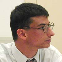 | Téglásy Örs Title of M. Sc. thesis: Condititions of the GIS purpose national GPS measurements Consultant: Györffy János, Borza Tibor |
 | Tóth Zoltán Title of M. Sc. thesis: The historical railway atlas of Budapest's local transportation Consultant: Faragó Imre |
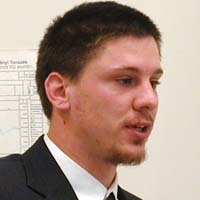 | Ujhelyi Balázs Title of M. Sc. thesis: Comparison of perspective projections based on their deviations Consultant: Györffy János, Csikós Balázs |
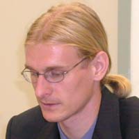 | Vereszki Tibor Title of M. Sc. thesis: History of orienteering maps Consultant: Zentai László |


 Back to the Initial Page of Students!
 Jump to the Homepage of Department of Cartography and Geoinformatics, Eötvös University, Budapest!