
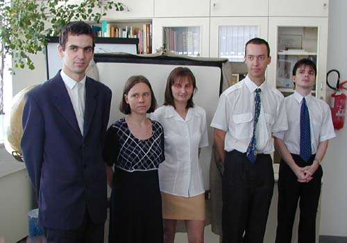
Title of M. Sc. thesis: Atlas of the Drava part of the Duna-Dráva Natural Park
Consultant: Márton Mátyás
| Bötkös Marcell Title of M. Sc. thesis: Atlas of the Drava part of the Duna-Dráva Natural Park Consultant: Márton Mátyás |
 | Erdei Mónika Title of M. Sc. thesis: Structure of the Hungarian administration (1920-1950) Consultants: Márton Mátyás, Szigeti Ernő |
 | Havas Gergely Title of M. Sc. thesis: Representation of digital terrain models using GIS software Consultant: Zentai László |
 | Holcsek Bernadett Title of M. Sc. thesis: Compilation of legend of middle scale historical-topographic maps Consultant: Faragó Imre |
 | Juhász Péter Title of M. Sc. thesis: Optimal distorsion mixed projections Consultant: Györffy János |
 | Kopka Ferenc Title of M. Sc. thesis: Battle of Kápolna on maps Consultant: Márton Mátyás |
 | Madarassy Pál Title of M. Sc. thesis: Spatial information and intelligence service Consultant: Török Zsolt |
 | Maigut Vera Title of M. Sc. thesis: Hungarian star legends Consultant: Márton Mátyás |
 | Molnár Péter Title of M. Sc. thesis: Digital map library of orienteering maps Consultant: Zentai László |
 | Szalai Zsolt Title of M. Sc. thesis: Editing of administrative-historical educational maps Consultant: Faragó Imre |
 | Szuromi Balázs Title of M. Sc. thesis: Making orienteering maps Consultant: Zentai László |
 | Tihon József Title of M. Sc. thesis: Recognition and transformation of vector based geocartographic map projections Consultant: Györffy János |
 | Tomka Bálint Title of M. Sc. thesis: Analysis of the names of "Parvus Atlas Hungariae" (1689) Consultant: Török Zsolt |

 Back to the Initial Page of Students! Jump to the Homepage of Department of Cartography and Geoinformatics, Eötvös University, Budapest!