(based on official statistics)

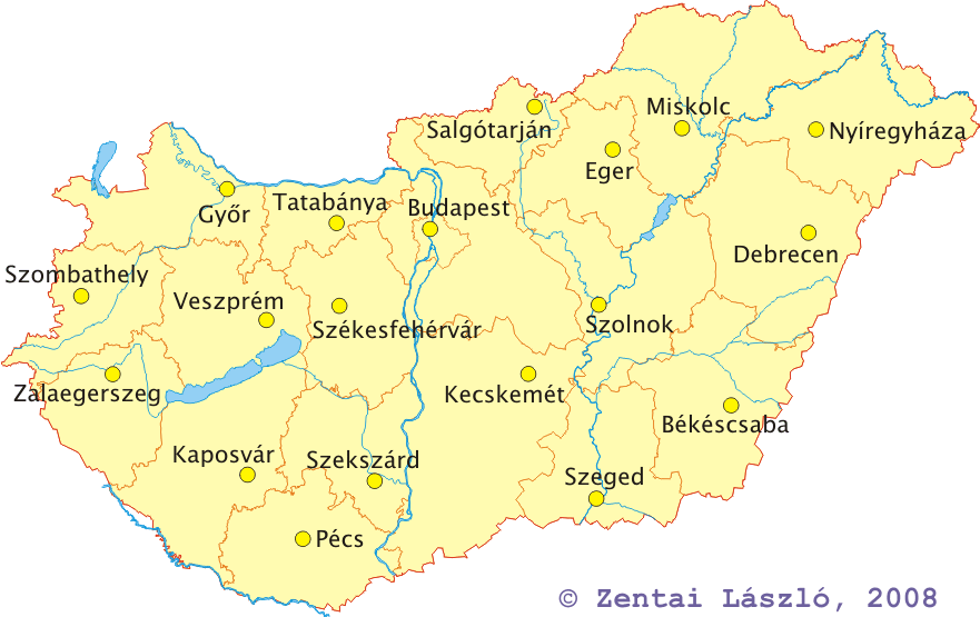
| Area: | 93 030.03 sq. km |
|---|---|
| Population (2008) | 10 045 401 |
| Percentage distribution | Males - 47.9 %; Females - 52.1 % |
| Capital (2008): | Budapest (1 702 297) |
| Number of counties: | capital (23 districts), 19 counties, 23 towns of county rank |
| The highest peak | Kķkes (1014 m) |
| The deepest point | to the south of Szeged (75 m) |
| Altitude above the sea level (below 200 metres) | 84 per cent |
| Altitude above the sea level (200 to 400 metres) | 14 per cent |
| Altitude above the sea level (above 400 metres) | 2 per cent |
| Largest lake | Balaton (598 sq. km) |
| Major rivers (Hungarian section) | Danube (417 km), Tisza (598 km), Rßba (190 km), Zagyva (179 km) |
 Jump to the Homepage of Department of Cartography and Geoinformatics, E÷tv÷s University, Budapest!