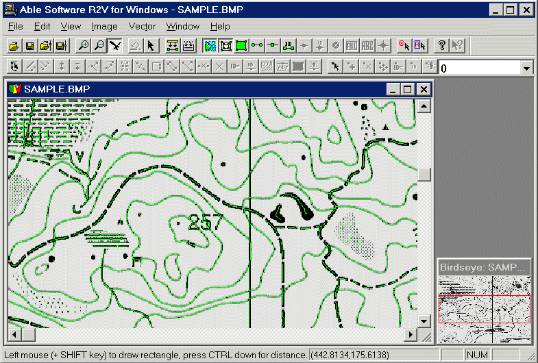
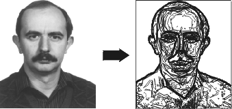
It is impossible to vectorize all kind of scanned paper maps, but in special cases it is working (scan only the film of contoru lines and vectorize is probably the most successful process.

Vectorization software (R2V) for GIS and CAD users
The raster > vector conversion would be the best way to digitize paper maps.
Scanning paper maps is fast and easy, but to tach an application to understand
the special structure of vector maps is very difficult or even impossible. The
raster image is just a matrix of pixels and a conversion software is an artificial
intelligence which try to form a point-line-are structure.
It is impossible to vectorize all kind of scanned paper maps, but in special cases
it is working (scan only the film of contoru lines and vectorize is probably the
most successful process.

Vectorization software (R2V) for GIS and CAD users
