Description
| Printing | Reference
| Ptolemy | Subscription----THE
ATLAS COLLECTUS Map
SERIES
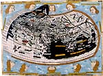
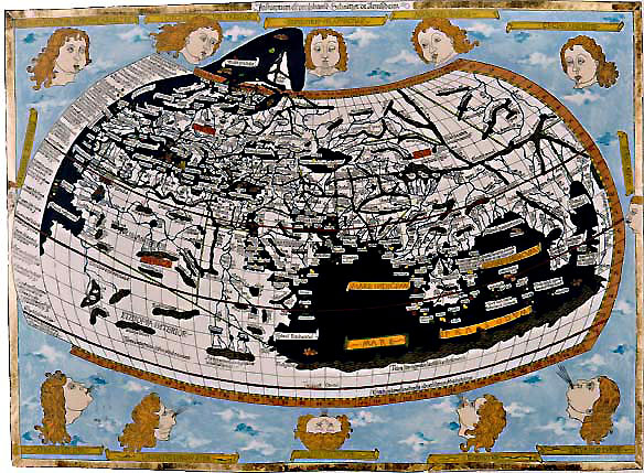
DESCRIPTION: The world map was
constructed in the second
projection of Ptolemy, the antique geographical authority. The
first
edition of his famous work, the Geographike Hyphegeses was
rediscovered
in the European Renaissance. Due to the invention of printing, the
earlier
manuscripts of its translation found their way to the printing
workshops.
The first edition with map was published in Bologna in 1477. The Ulm
edition
is very important: after the Italian editions it is the first
Ptolemy
published north of the Alps. The first printed German atlas was
published
in Ulm (Bavaria) by Lienhart Holl in 1482 with woodcut maps. (The
second
edition, with the same maps was printed by Johannes Reger in 1486.) The
spectacular world map demonstrates the classical geography, the Old
World
is represented according to Ptolemy. The addition to North Europe may
indicate
European discoveries before Columbus: the extension of the map
represents
the lands of Iceland or Greenland, or even Vinland. .. Anyhow,
this
is the first signed printed map: the name of the maker,
'Johannes
woodcutter of Armsheim', can read in the upper frame. The Ulm Ptolemy
is
a very rare and spectacular incunabulum, its world map is the
one
of the most reproduced of world maps. Today it is almost
unavailable
and priceless...
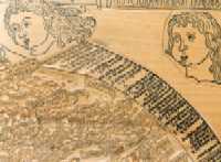
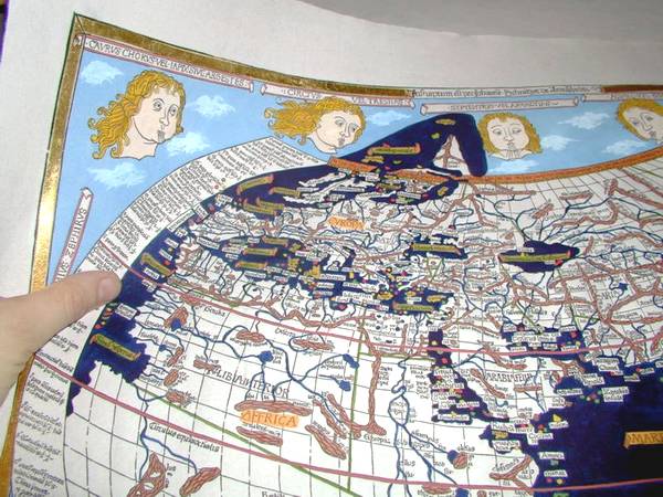
TECHNICAL: Technique:
relief
printed from hand cut wood block
Special
copies are decorated with solid gold.
Edition limited
to 99 copies.
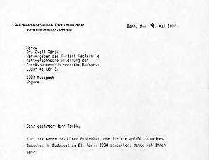
SUBSCRIPTION: Some copies are available. For more information, a free demonstrative sample of the product and/ or the Order Form please, send a message with your name and mailing address to the Publisher. REFERENCES: Dr. Helmut Kohl, Chancellor of Germany (1994)
|
|||
 The
world's only private workshop The
world's only private workshop
where the traditional map and globe making art has been revived. |
|---|
