Description
| Printing | Ptolemy | Subscription----------------THE
ATLAS COLLECTUS Map
SERIES
 Custom
coloring Custom
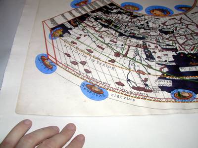
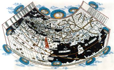
coloringDESCRIPTION: The Bologna Ptolemy of 1477 is the first printed Ptolemy Geography and the rarest of the incunabula atlases: only twenty-six copies of the five hundred printed have been traced. Alone among the early Ptolemy geographies, the Bologna edition was never reprinted or reissued. The first printed atlas of the world was hastily prepared in 1477 in Bologna, Italy. The maps are thought to have been engraved by Taddeo Crivelli, who had learned this art only a few years earlier. Being inexperienced the engraver of the map made several errors. Spelling mistakes, crude line work, and letters and words in mirror (such as the name of the wind Vulturnus) make this Renaissance print all the more enchanting. For some unknown reason the original map's frame was cut off at both sides of the Equator. Later in its printing history corrections and minor alterations were made, and the original blank sea areas were decorated with billowing lines. In our edition the seas remained blank but were decorated with contemporary ships and sea creatures. The 1477 Ptolemy is known in about 26 copies worldwide. Subscription: Copies are available! For more information, a free demonstrative sample of the product and/ or the Order Form please, send a message with your name and mailing address to the Publisher. REFERENCES: Report in Mercator's World Magazine |
|||||
 The
world's only private workshop The
world's only private workshop
where the traditional map and globe making art has been revived. |
|---|
 The
The 